
Event Tech · For organizers
Interactive Festival Maps: Wayfinding That Attendees Actually Use
Give festival attendees an interactive map they can find anything on. A guide to QR-first wayfinding, live updates, search, and accessible navigation on any phone.
The Fastest Way to Improve Your Festival Is to Help People Find Things
Introduction
Picture an attendee three hours into your festival. They're hungry, they need a restroom, and their friend just texted to meet at "the stage by the food trucks." They pull out their phone, and what they find next decides whether the next ten minutes are easy or frustrating. Interactive festival maps and good wayfinding are what turn that moment from a wander into a two-tap answer.
Most events still hand attendees a static map: a printed program or a flat image that's outdated the moment the schedule shifts. This guide covers how to give attendees a live, interactive map they can pull up on any phone, search instantly, and trust to be current, without asking them to download a thing.
Why Wayfinding Matters More Than You Think
Wayfinding isn't a nice-to-have. It shapes how much of your festival attendees actually experience. When people can't find the second stage or the vendor row, they don't explore it. They stay in the one area they understand, foot traffic clusters, and the vendors you placed off the main path lose the day.
Good navigation also removes friction from the moments that frustrate people most: finding water in the heat, locating the nearest restroom, meeting up with friends, getting out fast at the end. Every one of those is a small test your event either passes or fails dozens of times per attendee.
A live interactive map turns your whole site into something legible. Attendees see where they are, what's near them, and how to get where they're going. That confidence is what lets people relax, roam, and discover the parts of your festival they'd otherwise miss.
Key Elements of Great Festival Wayfinding
Instant Access With No App
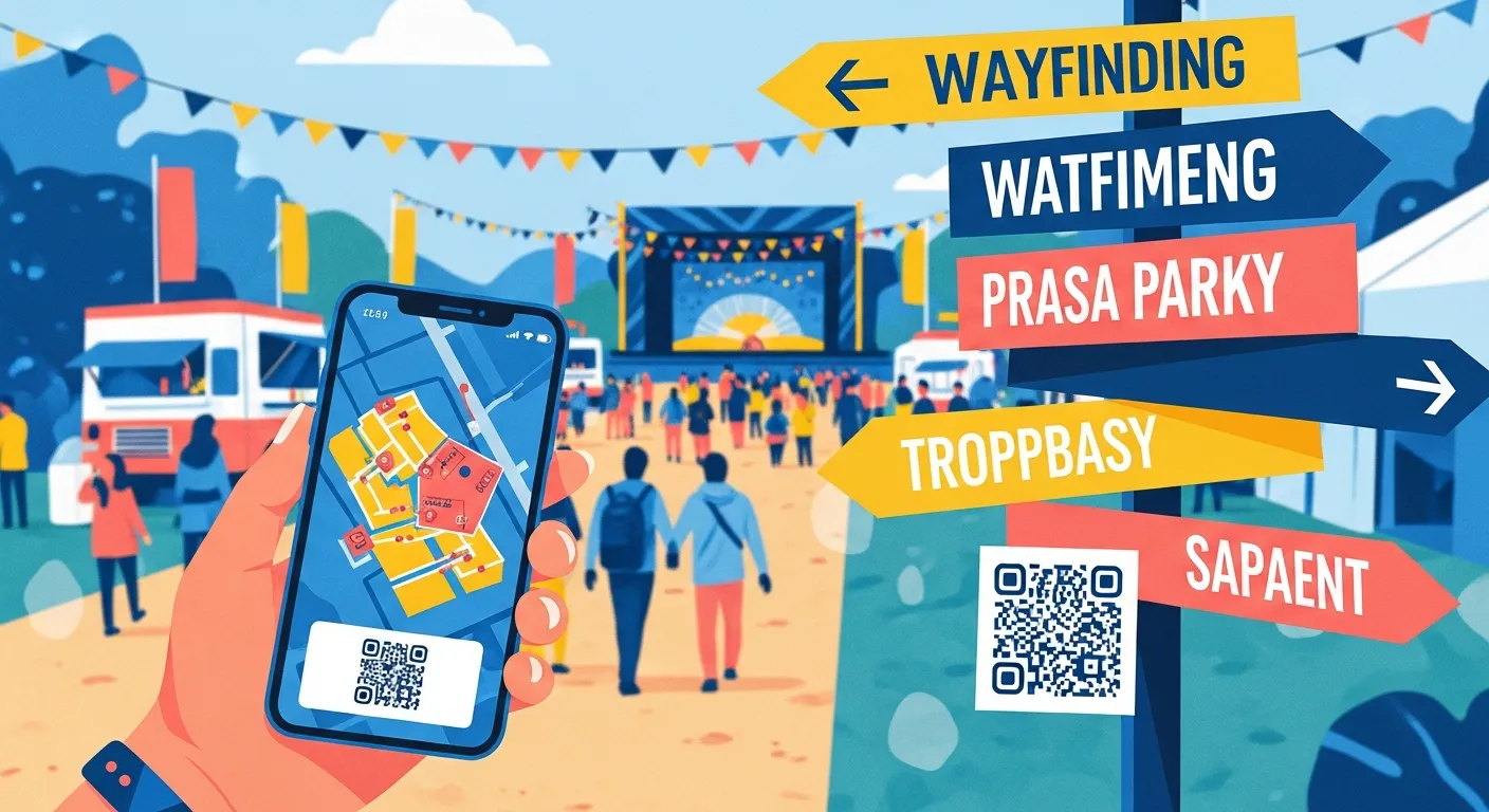
The map has to open the second an attendee wants it. A QR code on signage, wristbands, or the schedule that launches a web map in any phone browser beats an app store download every time. Nobody installs an app while standing in the sun looking for a bathroom. Web-native access means the map is one scan away for everyone, on any device.
Search and Nearest-to-You
A map is only useful if people can find a specific thing fast. Let attendees search by name or category, and surface what's closest to where they're standing. "Nearest restroom" or "find parking" should be a tap, not a scan of the whole grounds.
Real-Time Updates
Festivals change during the day. A set time shifts, a vendor sells out, a gate closes. A static map can't keep up, so it slowly becomes wrong and people stop trusting it. A live map reflects changes the moment you make them, which keeps attendees coming back to it all day.
Accessible Navigation
Wayfinding has to work for every attendee. Clear labels, legible contrast, and routes that account for accessible paths make the map usable for people with mobility or visual needs. Pair the digital map with consistent on-site signage so the two reinforce each other.
6 Steps to Give Attendees a Map They Actually Use
-
Put your real site plan behind the map. Attendees should see the actual grounds, to scale, not a cartoon. Building the attendee map from your operational plan keeps it accurate by default.
-
Make it open from a QR code. Place codes at gates, on signage, on wristbands, and in the program. One scan, no download, instant map.
-
Label what attendees care about. Stages, food, restrooms, water, first aid, exits, and ATMs. Use the words attendees use, not internal names.
-
Turn on search and categories. Let people jump straight to a vendor or filter by type. The faster someone finds a thing, the more of your event they'll explore.
-
Keep it live. Connect the map to your updates so schedule changes and closures appear in real time. A map that's always right is a map people keep opening.
-
Reinforce it with physical signage. Digital and on-site wayfinding should agree. Signage catches people who aren't on their phone and points everyone else to the QR code.
Common Wayfinding Questions Organizers Face
-
What if cell signal is bad on our grounds? Plan for it. A lightweight web map loads faster on weak signal than a heavy app, and clear physical signage covers the moments connectivity drops. Prompt attendees to open the map early, near the gate, where signal is usually strongest.
-
How do we keep the map from going stale? Use a live map tied to your plan so updates publish instantly. The reason static maps fail is that they can't change; a live one removes that problem entirely.
-
Attendees can't find things even with a map. Why? Usually the labels use internal names or the map lacks search. Name things the way attendees think of them, and let them search instead of scanning.
-
How do we make wayfinding accessible? Legible contrast, clear labels, accessible route information, and consistent signage that matches the digital map. Accessibility isn't a separate feature; it's the map working for everyone.
Expert Tips for Attendee Navigation
Design From the Attendee's Point of View
Your team knows the site by heart. Attendees are seeing it for the first time, without a radio or a plan. Walk your own map as a first-timer: can you find food within a tap from anywhere? Is the nearest exit obvious? If it's confusing to you, it's worse for them.
Promote the Map Before People Are Lost
Point attendees to the map at the gate and in pre-event messaging, not just when they're already frustrated. When opening the map is the first thing people do, it becomes their default tool for the whole day.
Use the Map to Move Foot Traffic
Wayfinding isn't only navigation. Highlighting a quieter vendor row or a second stage on the map pulls attendees toward areas that need traffic, spreading crowds and giving more of your vendors a good day.
Turn Your Grounds Into Something Anyone Can Navigate
The difference between a festival people explore and one they get stuck in often comes down to whether they can find things. A live, searchable, no-download map turns your site into something legible from the first scan, and that confidence is what lets attendees roam, discover, and spend.
FestKit lets you publish an interactive attendee map straight from your site plan. It opens from a QR code in any browser, updates in real time as you change the plan, lets people search for what they need, and carries your event announcements. Give attendees a map they trust, and they'll experience more of the festival you built.
Running an event? List it on FestKit and take vendor applications for free. The site plan and live attendee maps are there when you want them. Start free.